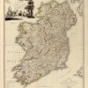
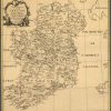
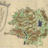
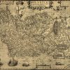
The mapping of Ireland during the 16th and 17th centuries reflected a period of political and religious shifts that shaped the territory. However, it also showed the cartographic advancements of the time, evident in increased accuracy and precise geographical information. This collection of Ireland maps feature the works of cartographers including, Map of Ulster Province, […]


Follow Us!