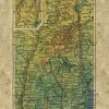
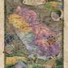
Extremely beautiful colorization of Bartholomew’s New Hampshire 1906 map. Other sizes are available, as well as originals. Contact Lisa for more info or see her website www.greatriverarts.com. Lisa’s maps are known to be some of the most beautiful hand painted maps available. This is a hand painted historical map reproduction which in it’s original state […]


Follow Us!