
Discovery Map Series: Columbia River, Headwaters to the Pacific Ocean
 Columbia River
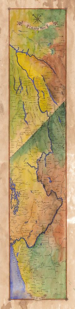
Whether it is called the River Oregon, Big River, or River of the West, the Columbia River is the largest river in North America that drains into the Pacific Ocean. The Columbia River drains a basin that is approximately 260,000 square miles, from its headwaters in the Rocky Mountains of British Columbia, Canada to the Pacific Ocean at Astoria, Oregon, and Ilwaco, Washington where it borders both states. The Columbia River basin includes the U.S. States of Oregon, Washington, Idaho, Montana, Nevada, Wyoming, and Utah and the Canadian province of British Columbia.
Humans’ earliest presence in the Columbia River basin dates back to more than 10,000 years ago. The natives were hunters-gatherers who lived off the land and the river that sustained them. Native Americans and aboriginals still have a continuing presence the Columbia River, with groups such as the Yakama, Spokane, Palus , Colville, Nez Perce, and Cayuse residing in the U.S. section of the Canada-U.S. Border, while groups, including the Lakes people and the Shuswap people occupy the Canadian stretch.
The Natives of the Columbia River basin came in contact with Europeans and Americans in the 18th and 19th centuries. Exploration and conquest of the region sent many on a path of discovery. Spanish explorer Martin de Auguilar is believed to be the earliest European to spot the river in 1775 sailing up the Pacific coast, but that was just the beginning of foreigners in the region. Following the Spanish were Boston fur trader Robert Gray (1792), the American Lewis and Clark Expedition (1805 and 1806), and British-Canadian fur trader and mapmaker David Thompson. Thompson, in 1807, began a survey of the Columbia River basin for the North West Company which he mapped. He became the first European in 1811 to navigate the entire length of the river.
The late nineteenth century marked the beginning of the development of the Columbia River as an important transportation pathway and a means of natural resource. This development meant that the river experienced many changes engineered by humans, which altered not only the flow of the river but its entire natural balance. Navigation canals and more than sixty dams are in the Colombia River watershed, and most of the dams are built solely for generating hydroelectric power, but irrigation, navigation, and flood control are also reasons for the dams. These changes to the river have resulted in pollution and the interruption of fish migration. A good future for the Columbia River is one in which its ecosystem is alive. That is the great challenge.
All sizes are approximate.
No comments yet.