Tag Archives: historic maps

Old Map Studies: Piri Reis, A Problem Among Antarctica Antique Maps!

31 Jan
piri-reis-antarcttica-antique-maps

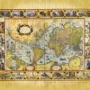
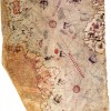
Here’s one to throw around during your next cocktail party. The year was 1929, and the date was October 9th. German theologian Gustav Deissmann was rummaging through maps and books housed in the Topkapi Palace library, located in Istanbul, Turkey. While doing so, he discovered one of the most curious antique maps ever made. It […]

The Sawley Mappa Mundi c.1190 Antiquarian Map

11 Mar
cat300r2_49e

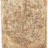
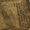
The Sawley Mappa Mundi c.1190   Modern eyes look for maps to be topographical with large-scale detail, contour lines, and accurate graphic representation of natural and cultural features of a region. They tend to serve as significant points of reference and as a navigation tool. These are the types of maps that generally make sense […]

Here Be Dragons?

06 Jan
fish-man-lisa-middleton-antique-map

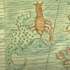
Let’s talk about dragons for a moment. Take a look at any antique map from the 15th or 16th century, then walk forward through time to present day. You can literally see the world take shape, through cartography, as new explorations and discoveries were made. Along with those findings were close encounters of fantastical, never-before-seen […]

Prester John

13 Oct
image006

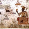
What do you do during the Holy Crusade when your kingdom is threatened by potential Muslim invasion? You call upon the help of a mythical Christian priest/king of course. That was the case in the 1100s. When relations got tense, and the Turks threatened to invade the Crusader Kingdoms under the leadership of Imad ad-din […]